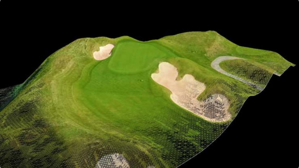

Point clouds are regularly used in design and build projects, whether that is as the baseline to design upon, or as a detailed record once construction is completed.
Our point clouds also play a vital role in digital asset management, from monitoring for subsidence, to creating a 3D digital twin – drones capture spatial data more efficiently than traditional methods.
Point clouds are often made up of millions of individual points, each with their own X, Y and Z value. These highly accurate 3D datasets can be viewed by their RBG value (colour) or their Z value (elevation) – ideal for topographic surveys or asset inspections, have you considered using drone technology for your projects?
Future Aerial provide point cloud data for a wide variety of clients and purposes. A few examples are:
If you need help to minimize costs and maximize efficiency and get the job done, get in touch today.
We acquire, process and deliver accurate, high resolution point cloud data for use in AutoCAD and GIS software packages. As part of the same drone survey, we can also provide the following outputs:
Point clouds can often be many GBs in size, if sharing data is an issue, we can provide the data via online applications that allows you to navigate the point cloud and take measurements – removing the need to wait for data downloads or purchase specialist software.
If you need help to minimize costs and maximize efficiency and get the job done, get in touch today.