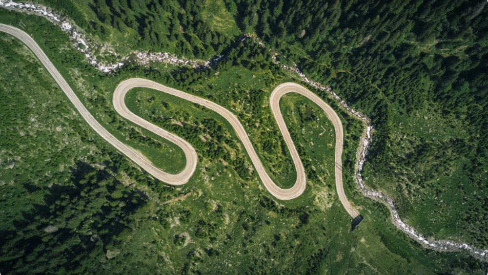

We deliver georeferenced inspection imagery via online apps, providing location awareness to our clients. By understanding where each image was taken, users can mark up defects online and automate their maintenance reporting.
Many of our clients rely on our aerial imagery to undertake remote inspections. Providing a full snapshot of asset condition, reducing time on site and minimising health & safety concerns by accessing potentially hazardous areas – have you considered using drone technology for your asset inspections?
Future Aerial provide aerial images for a wide variety of clients and purposes, here are a few examples:
If you need help to minimize costs and maximize efficiency and get the job done, get in touch today.
We acquire, process and deliver a broad range of digital outputs from our LiDAR surveys, here are a few common examples:
If you need help to minimize costs and maximize efficiency and get the job done, get in touch today.