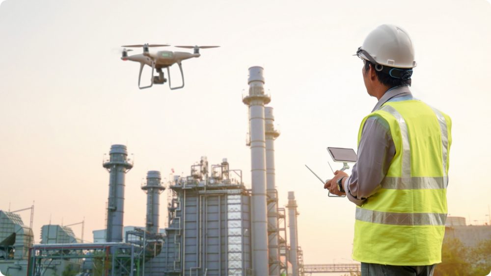
Future Aerial use drones in a huge range of environments to provide accurate, up-to-date, spatial data to twin the natural with the digital world.
Be a disruptor in your sector with state of the art simulations
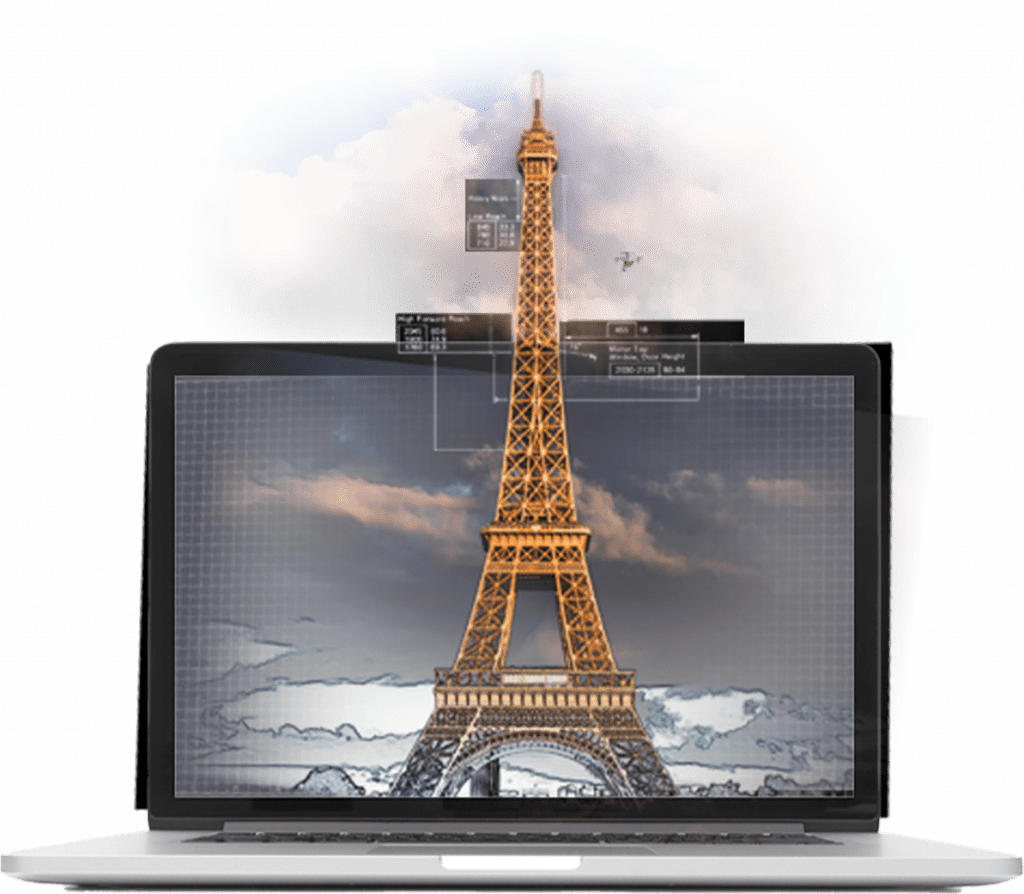
Digital twinning is complex and technical and takes an enormous amount of work and specialism, both in terms of capturing and processing the data, but the possibilities it offers are extremely exciting…
Digital twinning can revolutionise your company and enable you to offer to your customers and staff instant access to a virtual experience of the natural world. Whether your services require a virtual representation of a landscape, a cityscape or a single structure, our depth of experience in navigating drone regulations, coupled with our expertise in GIS processing, make our data sets reliable, consistent and accurate…
For example, Future Aerial map golf courses in Asia for golf simulation in which measurements must be 100% accurate. Routinely creating digital 3D environments to this level of accuracy has helped us to optimise our processes for other sectors, such as game simulation, TV or film.
As this kind of data can often be many GBs in size, we provide it via online applications – no need to wait for data to download or purchase specialist software.
If you would like our drones to capture data for your business and create a virtual world in your sector, get in touch today: