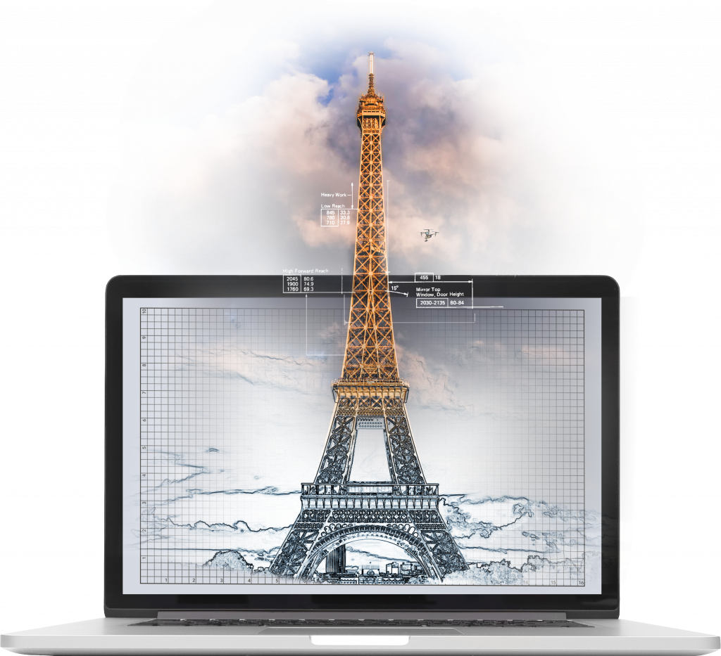
The vast majority of drones used for commercial purposes rely on photogrammetry as the method of turning individual images into complex 3D datasets.
One survey, countless deliverables
No other sensor can provide such a vast array of deliverables in one survey, making drones the ideal solution for many projects.
We provide consistent, high quality drone data around the world. Explore the data types that we produce and their application in your projects by clicking one of the links below.
Photogrammetry Use Cases
Future Aerial provide data for a range of clients and for a multitude of purposes, here are a few examples:
Topographic Surveys
Stockpile Measurements
Cut and Fill Calculations
Flood Modelling
Asset Inspections
Construction Progress Tracking
Road and Rail Inspections
Site Master planning
If you need help to minimize costs and maximize efficiency and get the job done, get in touch today.
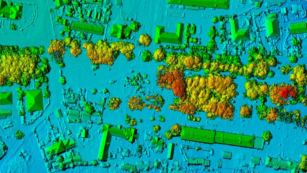
We acquire, process and deliver a broad range of digital outputs from our surveys, here are a few common examples:
Georeferenced Photos
Point cloud .LAS or similar
Orthomosaic imagery (GeoTIFF) or similar
Digital elevation models (DEM)
Digital terrain models (DTM)
Our depth of experience in navigating drone regulations coupled with our knowledge in GIS processing puts us in a unique position to deliver excellence, consistently for our clients.
If you need help to minimize costs and maximize efficiency and get the job done, get in touch today.
We use cookies to ensure that we give you the best experience on our website. If you continue to use this site we will assume that you are happy with it.Ok